
Sanford Neighbors and Block Sources
A careful Sanford neighbors search assigns each official source one job. The parcel map defines geometry. The tax card identifies the county’s assessor owner field and parcel context. Street-centerline data helps explain address ranges on each side of a road. City and county GIS layers identify municipal, historic, zoning, flood, utility, and district context. Historical maps and directories can show an earlier block, but they must carry a year. None of these sources proves who is presently inside a house.
| Source | What it shows about a block | Access |
|---|---|---|
| Lee parcel GIS | Parcel polygons, target and adjacent IDs, roads, waterways, municipal boundaries | Interactive map |
| Lee property search | Assessor owner field, situs, lot or legal description, and property card | Search, export, and card routes |
| Development Map streets layer | Address ranges, left and right sides, road type, community, county and municipal sides | REST query service |
| County and city GIS layers | Zoning, flood, utilities, districts, limits, ETJ, wards, and historic context | Public map layers |
| Sanborn maps | Historic footprints, material, use, and nearby structures | Library of Congress, HPO, or Archives |
| Hill’s directories | Same-street names and numerical order in selected years | DigitalNC and library sources |
| City records | Annexation or conditional-rezoning notice context | Archive and planning routes |
Start with county geography even when an address uses a Sanford mailing line. ZIP 27330 reaches Lee, Chatham, Harnett, and Moore counties, and 27332 reaches Harnett and Lee. A parcel’s county and situs should determine the property-record custodian. The city label, a ZIP, and a city-limit line are separate geographic facts.
Define Adjacent Sanford Neighbors
For a parcel-based neighbor lookup, “adjacent” should mean that two parcel polygons share a boundary. Locate the target parcel in the GIS map, inspect every side, note each touching parcel ID, and record any road, alley, creek, rail line, or right-of-way between them. A lot across a street has a street-front relationship, not a shared parcel boundary. A corner parcel may have two situs addresses and can relate to two blocks.
“Same block” also needs a stated definition. It usually depends on the intersections that frame a street segment, but a cul-de-sac, rail line, creek, or interrupted road can change the practical block. Public parcels may represent a common area, institution, commercial use, vacant land, or infrastructure rather than a household. Define the geometry first and leave the owner field blank or redacted when it is not necessary to the purpose.
Note: A shared mailing ZIP does not make parcels adjacent, and an adjacent parcel does not imply a relationship between the people connected to it.
Map Sanford Neighbors Parcel by Parcel
The county map and tax portal form the most defensible sequence for Sanford neighbors. The map establishes which polygons touch. Each tax card is then opened one at a time so the site can keep the situs, legal description, and assessor owner field distinct. Mailing information may belong to a lender, estate, fiduciary, or other recipient. A tax owner field may also lag a recorded instrument, so it should not be presented as a current occupant.
- Save the target address, parcel ID, map layer, and lookup date from the Lee County parcel map.
- Identify only polygons that share a boundary, and describe any road, waterway, alley, or right-of-way that separates a nearby parcel.
- Open each public card in the Lee tax portal, recording situs, lot or legal description, assessor owner field, tax year, and card date as separate fields.
- Compare county and municipal context, then use zoning, flood, historic, or utility layers only for the block question they answer.
- Add a year and source type before using a Sanborn sheet or directory street guide for historical neighbors.
For a complete named-street record chain, use the Sanford Street Directory. A block study should remain limited to the immediate parcels and their clearly stated relationships.
Read Sanford Block Ranges Carefully
Lee County’s official Development Map street layer contains fields including LOLEFT, LORIGHT, HILEFT, HIRIGHT, ROADNAME, TYPE, County_L, County_R, IncMuni_L, IncMuni_R, PRIVATE_RD, COMMUNITY, and map identifiers. These fields describe centerlines and address ranges. The left and right low and high values can help explain which side of a road an address range belongs on, and county or municipal-side fields can flag a jurisdiction boundary.
A range is not proof that a house number exists, that a delivery point is active, or that a person is associated with the address. The layer also reports road context such as private-road status and community labels. Use it with parcel polygons, not in place of them. Where a result conflicts with the map, retain both observations and seek the underlying parcel or address record rather than forcing a match.
The Development Map service exposes this address-range structure for inspection and query.
Use Sanford County and City Layers
County GIS and city GIS are complementary. County layers emphasize parcels and owners, floodplain, zoning, utilities, and commissioner districts. The City of Sanford GIS emphasizes corporate limits, ETJ, wards, precincts, fire districts, historic districts, and municipal services. Verify the parcel in the county view first, then check its city-boundary context in the Sanford GIS resources. That order avoids treating a postal city name as proof of municipal jurisdiction.
Boundary context can change. Sanford’s 2026 growth and annexation framework makes a dated map result especially important. When a parcel lies near an edge, record whether the source identifies county land, city limits, or ETJ instead of choosing one label for all purposes. A historic district designation is also a mapped historic resource, not evidence of a civic group, property ownership, or present neighborhood membership.
Sanford Neighborhood Association Routes
No stable, comprehensive official directory of Sanford neighborhood associations was located. The city’s Historic Preservation material identifies East Sanford, Hawkins Avenue, Lee Avenue, Rosemount-McIver, Downtown, and related districts, but those are documented historic districts rather than proof of active civic associations. Do not create boundaries from a ZIP code or present a historic-district name as membership information.
| Documented city route | What it can provide | Important limit |
|---|---|---|
| Neighborhood Meetings for Conditional Rezoning | For a particular notification area, the applicant’s invited-person or organization list and sign-in materials | A rezoning-specific public-record trail, not a permanent citywide association directory |
| Sanford Archive Center | Keyword, category, date, and archive-type searches for municipal notices or records | Results are dated and should not be used to infer present boundaries or membership |
| National Night Out route | Time-specific community-event registration information | Registered event hosts or sites are not a current association roster |
The city’s conditional-rezoning procedure explains that notice can go to an association representing citizens in a notification area. That gives a researcher a clear way to request records for a specified case. It does not establish that every Sanford neighborhood has an association or that the city maintains a list.
The conditional-rezoning meeting page documents the notice and material requirements.
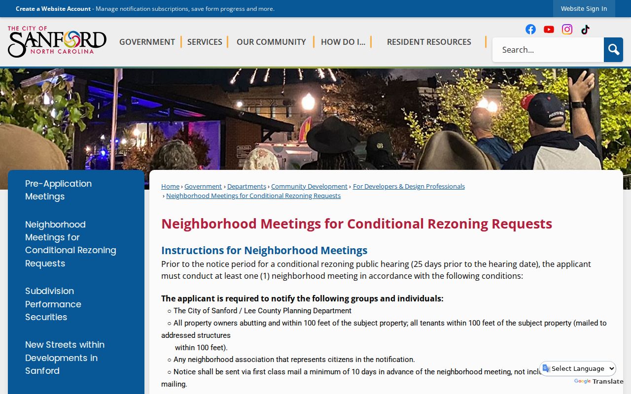
Use a meeting record only for its stated place and date, and avoid inferring a household’s participation or affiliation.
Find Historic Sanford Neighbors by Year
Historical neighbors require a year and a source type. The Hill’s Sanford city directories can be read in reverse through their street-guide or numerical-location sections, then checked against the alphabetical entries. The available Sanford run includes selected years from 1950 through 1978, with gaps. A printed name, telephone, owner or renter notation, or business address remains a historical association, not a present claim. The 1950 “O” mark may suggest owner occupancy but cannot replace a deed.
Sanborn maps add building footprint, use, material, and street context. The East Sanford inventory uses city directories, Lee County Survey Files, Sanborn maps, and tax records together, and it documents a 1938 to 1950 gap. Absence from one source may reflect coverage or indexing. It is not proof that a building was vacant or that no one lived there.
The Sanford Archive Center offers municipal keyword, category, date, and archive-type search options for local context.
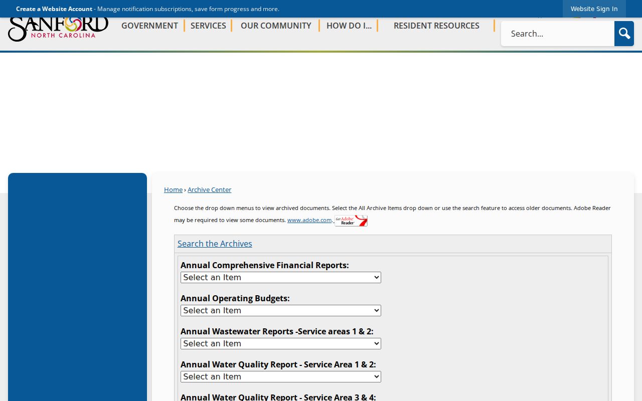
Archive results can help date a planning or city-record event, but the original record and its custodial date should remain visible in any notes.
Compare Sanford Neighbor Lookup Sources
Official records are best when the question is specific and the source’s role is clear. A commercial people-search category may combine property, voter, court, vital, and license information into a profile, but combined profiles can be stale or merge different people. An opt-out from a commercial profile also does not erase the original county or state record. Go back to the original custodian for verification, correction, or an available redaction process.
| Source type | Best use | Limit to keep visible |
|---|---|---|
| Official parcel and tax sources | Parcel geometry, situs, legal description, and assessor owner field | Owner field is not proof of occupancy and mailing can differ from situs |
| Official voter and court sources | Dated registration or public case context | Protected data and same-name limits apply; neither proves present presence |
| Commercial compiled profiles | A possible pointer back to a named source | Can be stale, mismatched, costly, or incomplete; verify at the custodian |
The FTC’s consumer guidance explains that commercial sites can compile public-source data and that removal requests are usually handled individually. Save the URL, profile date, and confirmation when pursuing a correction.
Sanford Neighbor Lookup Limits
North Carolina’s public-record rules include source-specific privacy limits. Voter records exclude protected identifying fields, juvenile records are confidential, adoption information has separate protections, and medical, investigative, sealed, expunged, and certain law-enforcement information can be restricted. A parcel or historic directory result should not be turned into a list of renters, household members, or current visitors. Do not state that adjacent people know each other, share a group, or are present at a particular address.
The North Carolina Address Confidentiality Program provides a substitute address for qualifying participants. A missing or substituted address is a safety measure, not a gap to fill by combining maps, deliveries, or other records. The NC Address Confidentiality Program gives the official eligibility and application-assistant route. Never reconstruct or publish an actual protected address.
Lawful use. Use Sanford neighbors records for lawful, limited block research and civic context. Never use them to monitor, threaten, harass, or intimidate another person.