
Walk a Sanford Street From Address to Evidence
The useful order for a Sanford street directory is geographic first, then documentary. Confirm the street and number in the county parcel map before reading a name from any result. The parcel establishes the land reference; the records then establish a tax snapshot, a recorded transaction, a registration record, or a dated directory entry. None of those labels should be collapsed into a claim of current occupancy.
- Search the address in the Lee County Tax Assessor Property Search and save the parcel ID, situs address, legal description, tax year, and owner field.
- Open the same parcel in the Lee County GIS Parcel Map to check the lot shape, nearby parcels, zoning, and county or municipal context.
- Use the state voter lookup as a narrow name-and-address cross-check after confirming the county and precinct, not as a block roster.
- Take the legal description, book, page, or plat reference to the Lee County Register of Deeds for the recorded chain.
- For an earlier household, consult a printed or digitized street guide and compare its publication year with maps, permits, or other dated evidence.
Sanford Street Directory Search Fields at Lee Tax Access
Lee County’s tax application gives the most explicit street-search controls in the local source set. It accepts a house number and street, but it also lets a researcher start with a parcel, owner field, legal description, lot number, or deed book and page. An owner query uses the form LastName, FirstName; an asterisk works as a wildcard. The result is an assessment index, so retain its tax year and test any ownership conclusion against a recorded instrument.
| Lee tax search input | Best use in a street search | What to retain |
|---|---|---|
| Address number and street | Find the situs parcel | Parcel ID and legal description |
| Owner or owner number | Check an assessor owner field | Spelling and tax year |
| Legal 1–3, lot, book, page | Bridge a changed street number | Subdivision or instrument reference |
| Parcel ID | Return to one confirmed lot | Card/PDF link and result date |
The portal can sort or page results and offers CSV export and RES PRC property cards. Its own notice says assessment data changes periodically and may not show the latest ownership or physical characteristics. That warning is a reason to keep the street-directory search focused on source roles.
When an address returns more than one result, compare the tax year, legal description, and situs before choosing a card. A street name can occur in different jurisdictions, and a mailing address may belong to a lender, fiduciary, estate, or other tax recipient. Keep a short note of the exact input and result date. If the current card lacks a readable street address, use the parcel map to recover the location and use the legal description or book and page for the next record. This is slower than copying a name from a result, but it prevents a Sanford street directory search from mixing nearby lots or unrelated people.
Map a Sanford Block Before Comparing Names
County GIS supplies the parcel geometry that a list view cannot. Its inventory includes parcels and owners as well as floodplain, zoning, utilities, districts, annexation history, historic districts, and census context. The city GIS complements it with corporate limits, ETJ, wards, precincts, fire districts, and municipal-service layers. Use the county map to locate land, then use the city layer to determine whether a city record should exist for that address.
For a street-level clue, the Development Map street service carries road name and type, left and right low and high address ranges, SR number, private-road flag, community, county or municipality side, and geometry. A range can help identify the right side of a block, but it is not a list of people and may include gaps or private roads. Verify each address against a parcel rather than inferring a household from an even or odd range.
Sanford Address Records That Follow a Street
A Sanford street directory draws on several address-keyed sources, each with a limited purpose. The table separates the record role from the conclusion a reader might be tempted to make. It also shows the fallback route when a screen has no needed detail.
| Address record | Custodian | Record role | Access route |
|---|---|---|---|
| Tax card and property roll | Lee Tax Assessor | Tax snapshot, owner field, situs, legal description | Web search and RES PRC card |
| Parcel geometry and layers | Lee GIS / City GIS | Lot, boundary, street, zoning, jurisdiction | Public viewer, REST, downloads, staff |
| Deed, plat, lien, release | Lee Register of Deeds | Recorded legal instrument | Live portal or 1300 S. Horner office; older physical and archive routes |
| Registration record | NC State Board of Elections | Public registration fields and district context | Lookup, state files, or county/precinct request |
| Permit or inspection event | Sanford Inspections | Structure chronology | CSS search or request to the creating department |
A parcel number ties tax and GIS work together. A legal description, plat reference, or book/page may then tie that parcel to recorded documents. The street name alone is the weakest bridge when a road has changed, a parcel was split, or the postal label crosses a jurisdiction.
Use Sanford Permit and Archive Trails by Address
Sanford Inspections identifies building permits, certificates of occupancy or completion, inspection records, correction items, and permit status as address-linked material. Its public guidance says to omit the street suffix when searching: enter the number and street name, then open the matching result. A general CSS search may be tried without an account. When a record is absent online, ask the creating department for the address, date range, record type, and preferred medium rather than assuming no record exists.
The City Archive Center adds a keyword, archive, time-period, start-date, and end-date route. A street search can surface permit reports, board packets, historic-preservation material, budgets, or a resident guide. A hit may point to a parcel or project without identifying a household. The Form Center is another discovery route for Planning and Development, Code Enforcement, Police, and Public Works, but a form is not a directory.
The Sanford Form Center image shows the phrase and category controls that make this fallback practical.
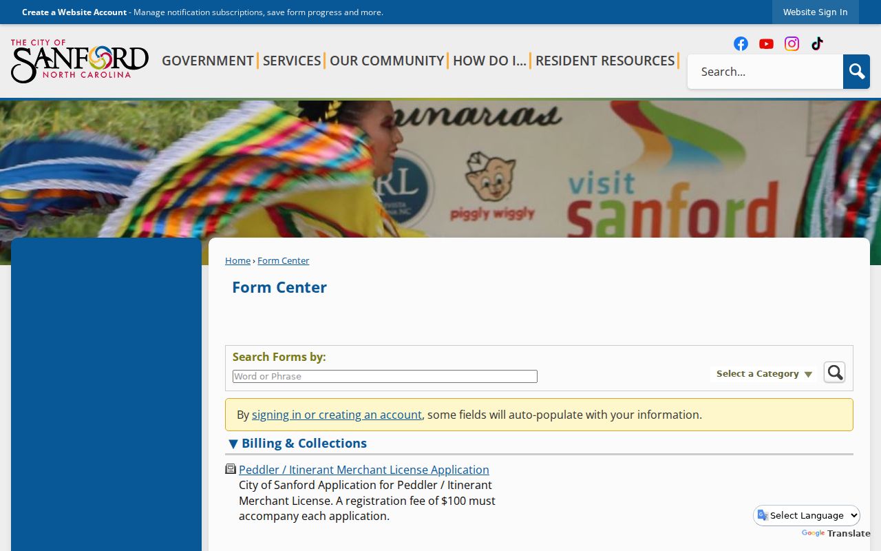
Use those categories to route an address-specific request to the department that created the record, especially when the online search does not expose the needed date range.
Sanford Street Directory Terms That Keep Records Separate
Parcel: a mapped unit of land used in the tax and GIS systems. Situs address: the parcel’s physical location, which can differ from an owner’s mailing address. Plat: the recorded map that can preserve a lot or subdivision reference when a street number changes. Criss-cross directory: a reverse street guide that starts from an address and lists the household or business printed for that publication year.
These terms explain why a current tax card, a deed, and a historic directory can all be accurate yet show different names. An assessor owner field can be a trust, estate, lender, or other tax recipient. A grantee in a deed is not automatically an occupant. The old directory is a time-stamped clue, not present-day proof.
Sanford Streets Across Jonesboro and Changing Boundaries
Place names can be the missing link in a Sanford street directory. Sanford merged with Jonesboro in 1947, and the former Jonesboro area is now called Jonesboro Heights. Older directories can use Jonesboro, Sanford, or a neighborhood label where a current GIS record uses something else. Preserve the printed place name and publication year, then try the historically plausible alternatives rather than silently modernizing the entry.
Boundary checks matter too. Sanford growth has been shaped by water and sewer extension and annexation, while the city’s current annexation process uses owner signatures, a boundary survey, metes and bounds, advance submission, and council meetings. A city permit, county parcel, and postal Sanford label may therefore have different geographic reach. The Sanford annexation information illustrates why municipal context should be verified separately from the parcel.
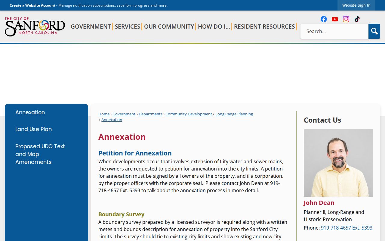
That boundary process is useful context when an address appears in a Sanford source after a period when only county records fit the location.
Trace a Sanford Street Into Recorded Land History
The Lee County Register of Deeds holds deeds, deeds of trust, plats, satisfactions, powers of attorney, and related recorded documents. Its live Logan Systems application is the official entry point, but the research did not establish a reliable online coverage cutoff or stable field list. Do not substitute an obsolete link or invent a start year. When the portal is available, capture its current disclaimer and search controls; for older work, use the office’s physical books and indexes or the State Archives finding aids.
Start with the legal description, subdivision lot, book/page, or instrument reference on the parcel record. Then distinguish transfers from instruments such as liens, satisfactions, easements, and deeds of trust. If a reference points to an estate, trust, corporation, or another county, pause the street trail and use the Clerk, Secretary of State, or new county named by the document. That is more reliable than guessing from a shared street name.
Read Older Sanford Street Guides With Map Context
For a past household, the city-directory street guide is the relevant reverse tool, while the full collection is explained in the Sanford directory book guide. Sanford directories are documented for 1950–1978 with selected years and real gaps. A 1950 owner-occupant “O” mark can suggest owner occupancy, but it cannot replace a deed and can lag a move. Pair the printed year with the street guide, a deed, tax record, permit, or map.
Sanborn maps cited locally cover 1908, 1915, 1925, 1930, and 1938. They show building footprint, use, material, and street context, not a resident list. The East Sanford HPO method uses city directories, Lee County Survey Files, Sanborn maps, and tax records together, and it documents a 1938–1950 gap. An omitted address is a coverage question, not evidence that no one lived there.
What a Sanford Street Directory Cannot Establish
The street directory can show what a named custodian recorded, not a complete household roster. North Carolina voter disclosure excludes Social Security numbers, dates of birth, email, driver-license information, photo-ID material, and protected addresses. Address Confidentiality Program participants may use a substitute address, and an absent result must never be reverse-engineered. Utility-customer and DMV information are not a shortcut around those limits.
Lawful use. Use Sanford address records for personal, lawful research such as family history, estate questions, civic context, or property curiosity. Do not use a public record to stalk, harass, intimidate, or harm anyone.
A commercial people-finder category may combine old and mismatched records, while the official route identifies the custodian, record date, and access limit. For a claim that matters, return to the local office, preserve the record date, and request an ordinary or certified copy when the custodian says one is available for lawful research.